
Club Meeting – September 19th, 2013
 Our program was presented by Dr. Philip S. Prince , who teaches geology at VA Tech. His topic the “Geological History of Blue Ridge Mountains Around Salem”, focused on the interesting origins of the topography that sets the natural “sklyine” around Salem , which was the subject of Dr. Prince’s doctoral work.
The City of Salem is situated at the foot of the Blue Ridge Plateau. The New river Valley on the plateau has an elevation of 2,150 ft., while Salem is at 1,050 ft. above sea level. That 1,000 ft. in elevation is a reason for the cooler weather experienced in the New River Valley and Floyd County.
What geological dynamics influence the topography of our area?

One is our proximity to the Eastern Continental Divide which meanders along the eastern edge of the Blue Ridge Plateau. The divide is why the New River flows North to the Ohio River and the Roanoke River flows to the Atlantic.
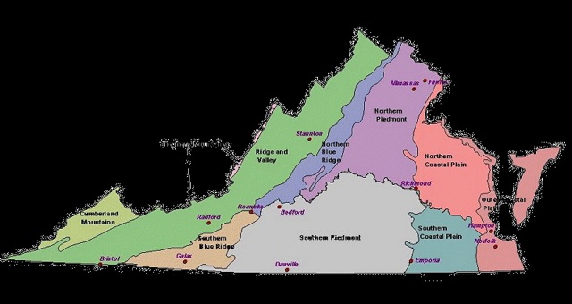
The other is the natural erosion process that in time “capture” streams along the edge of the plateau, which then flow down from the plateau to the Atlantic Ocean forming steep valleys. The Roanoke River created the Roanoke Valley over thousands of years eroding the soft soils in its path and leaving the hard geological materials to form the mountains and ridges surrounding Salem.